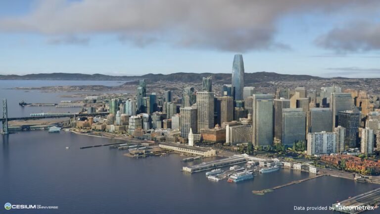
This post was updated January 16, 2024. Recent years have witnessed a massive increase in the volume of 3D geospatial data being generated. This data provides rich real-world environmental and contextual information, spatial relationships, and real-time monitoring capabilities for industrial applications. It can enhance the realism, accuracy, and effectiveness of simulations across various��
]]> ]]>
]]>
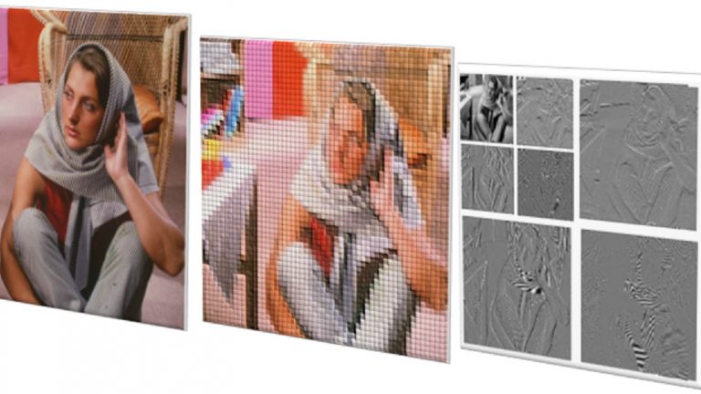
JPEG 2000 (.jp2, .jpg2, .j2k) is an image compression standard defined by the Joint Photographers Expert Group (JPEG) as the more flexible successor to the still popular JPEG standard. Part 1 of the JPEG 2000 standard, which forms the core coding system, was first approved in August 2002. To date, the standard has expanded to 17 parts, covering areas like Motion JPEG2000 (Part 3) which extends the��
]]>
This post demonstrates the practical utility of CUDA��s and functions in the context of distance calculations on earth. With the advent of location-aware and geospatial applications and geographical information systems (GIS), these distance computations have become commonplace. Wikipedia defines a great circle as For almost any pair of points on the surface of a sphere��
]]>